Mt Isolation (#40)
As the name implies, this was a long hike, which rewarded us with one spectacular view.
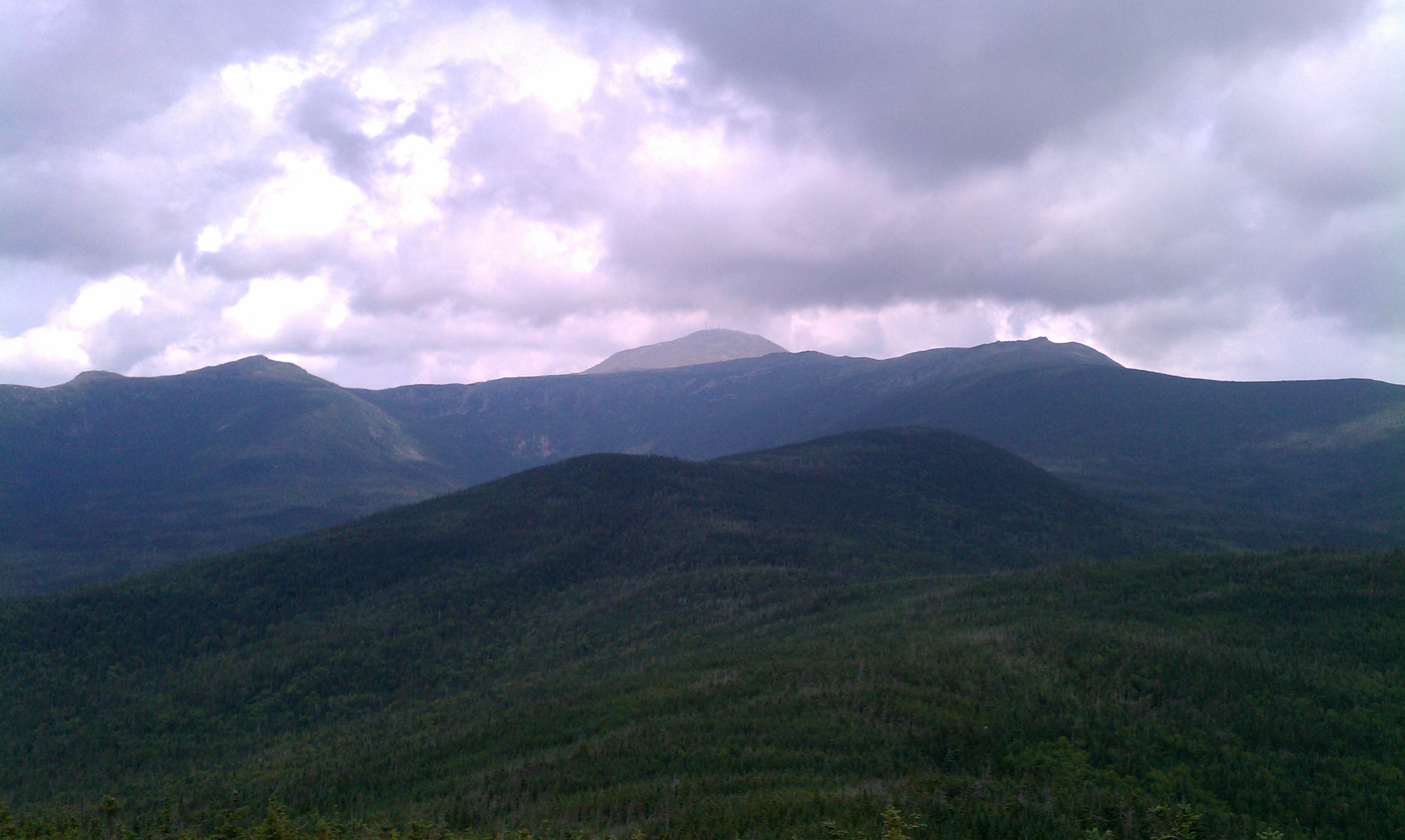
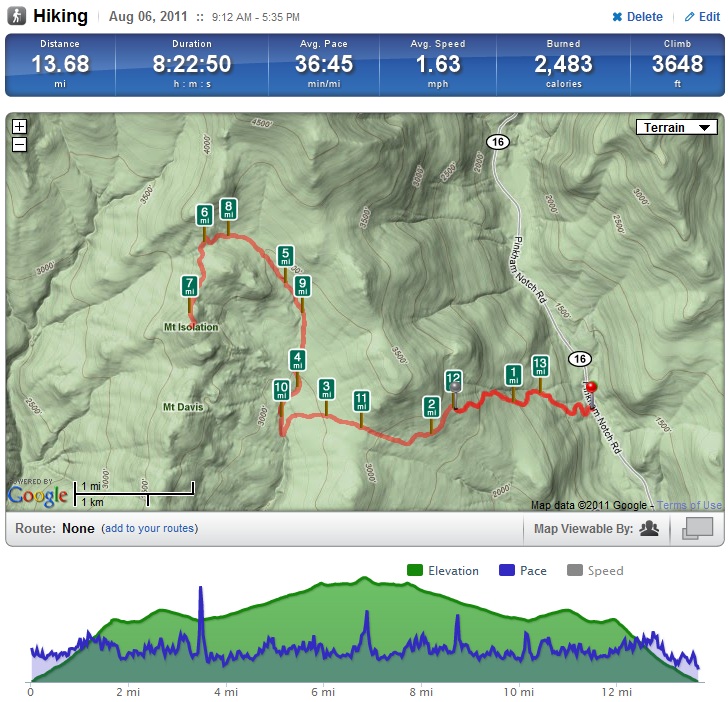
We chose Mt. Isolation because the weather promised to be dry for the many stream crossings, and we could get an early start for the nearly 14 mile hike (book time was >11 hours). The mountain sits below the main Presidential ridge, and while the whole descent is wooded, we were rewarded with 360 degree views from the top, including the view of Mt. Washington above.
The 3600 feet of elevation gain was deceptive; a normal New England hike of that magnitude would put us at ~5100 feet of elevation, while Mt. Isolation is one of the lowest of the 4000′ peaks at 4003′. We started up the Rocky Branch Trail, with a fairly manageable grade, for about 2.5 miles. It was extremely humid – even I was dripping with sweat after about 30 minutes. At our first water break we realized that if we kept up this pace and perspiration rate we would need more water than we’d brought along, and debated changing plans. Taking note of water sources we could use to filter water on our way back if needed, we continued along to the Rocky Branch Ridge. A couple energetic dogs almost joined us – they were certainly eager to make new friends – but we sent them back to their owners and kept plowing up the trail.
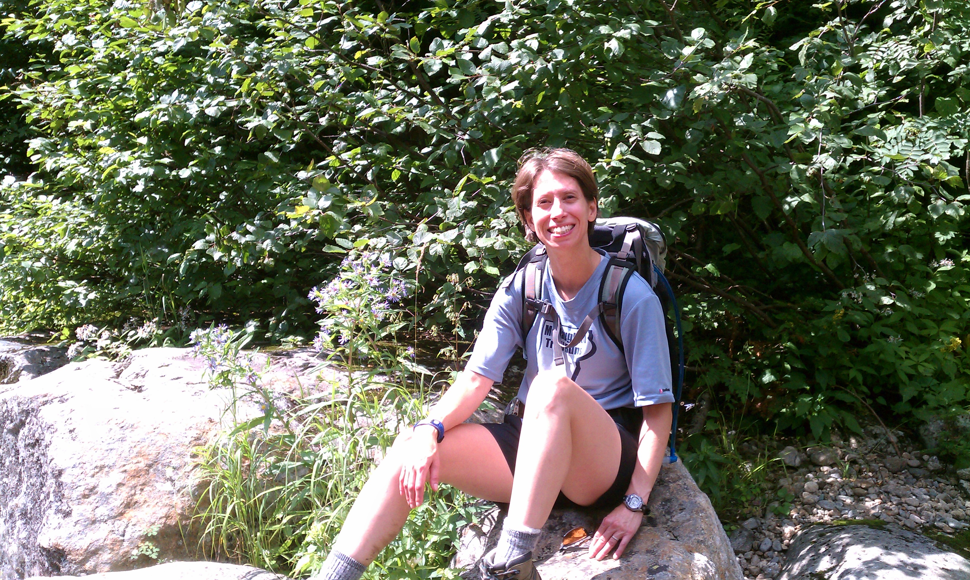
The trail to this point in time had been damp with lots of rocks and roots on a pine needle path. Once we crossed into the Dry River Valley, we traversed a lush marshy terrain that was really strange for 3000′ elevation, and descended a bit. We stepped from rock to rock and used the well-placed planks to keep our feet dry through this swampy section, which really exercised the stabilizer muscles in our calves, ankles, knees and hips. At 3.5 miles, about halfway along the ascent, we encountered the Rocky Branch Stream and took a break to eat and cool off before turning north along the Isolation Trail. It was refreshing to splash in the water and rinse off before continuing along.
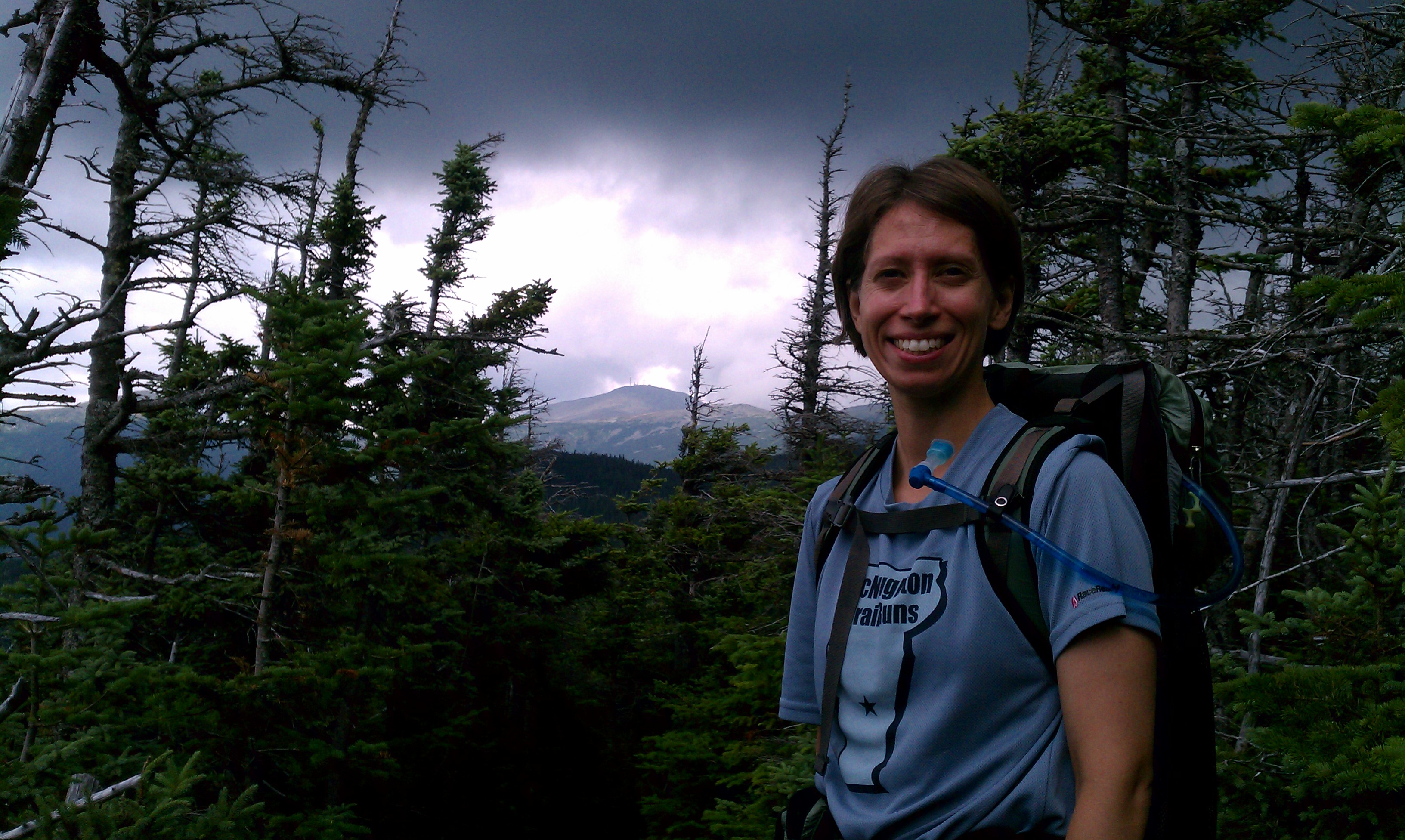
We then wound along the stream with 5 official crossings and several other hops over feeder brooks. It continued to be swampy for several miles. We met up with the Davis Path and finally caught our first view of Mt. Washington. The clouds were rolling in, so Brian snapped this shot before we continued up the trail and made it to the spur to the summit.
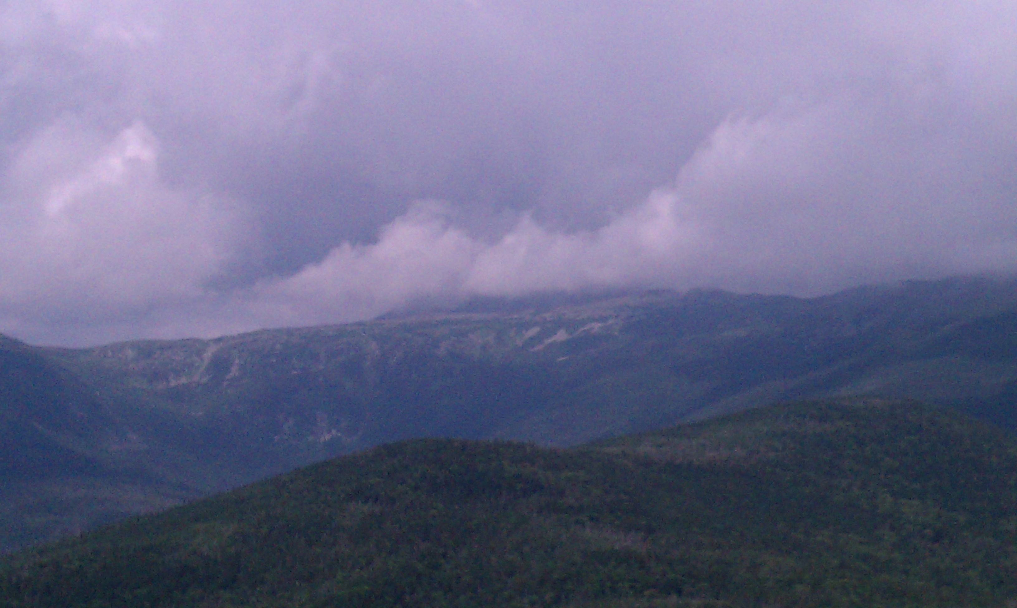
At the top we enjoyed views of the whole Presidential ridge, picking out Jackson (ok, it’s named for Jackson the geologist, not Jackson the president), Eisenhower (big round head, I mean top), Monroe and Washington including the Boott Spur. It always amazes us to see the weather patterns, seemingly at eye level, and how quickly they can change.
After nearly 7 miles and 4.25 hours, we took a well deserved lunch break of apple and PB&J while we let our shirts dry out on a rock. We checked our water – it turned out after that initial humid section, it dried out a bit so we had only gone through half of it, perfect for halfway through the hike. Then we packed up our gear and headed back down.
We made slightly better time on the way down than on the way up, but only barely. First, the incline was so gradual that it didn’t have a big impact. Second, the miles of picking our way along wet boulders caught up with us, and what had been carefully placed tip-toe steps on the way up eventually became heavy footfalls on the way down as our stabilizers turned to jelly. We reminded ourselves to be careful and took a few breaks along the way. I finally got to see the cute little toads that were hopping around, and we enjoyed a brief rain shower cooling us off as we made our way back to the car, already discussing what to eat at the Red Fox, as per tradition. As we voraciously ate, we watched the Red Sox/Yankees game and reviewed the hike.
Only 8 more to go until Brian completes all 48 four thousand foot peaks!
Posted: August 7th, 2011 under Brian, Hiking, Susan.
Comments: 1
Comments
Comment from Richard Boucher
Time: August 8, 2011, 7:01 am
Nice commentary…pls keep me posted re. peaks.
– Rich

Write a comment